Forecasting the Future of Rice Fields in Vietnam’s Mekong Delta

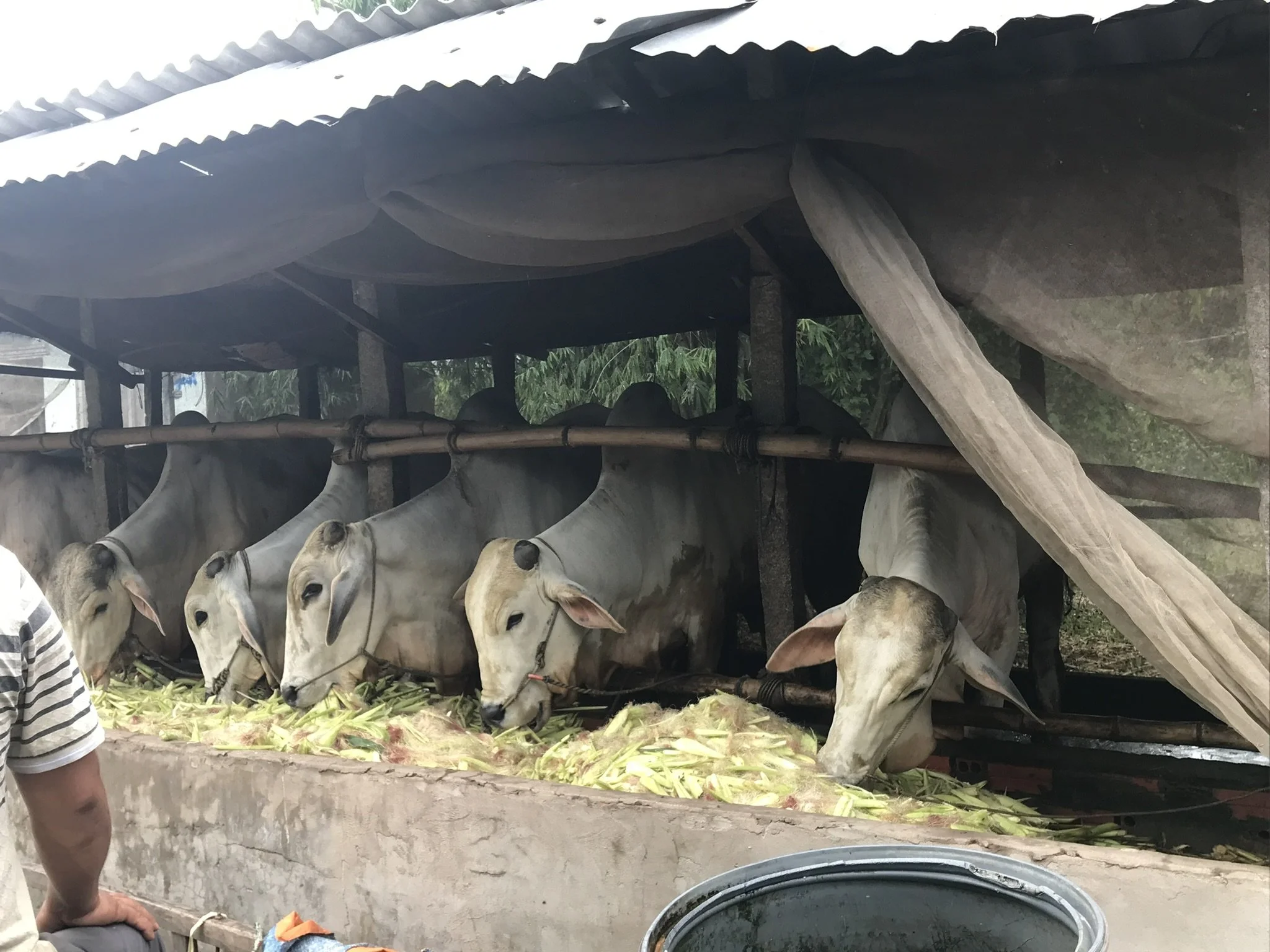
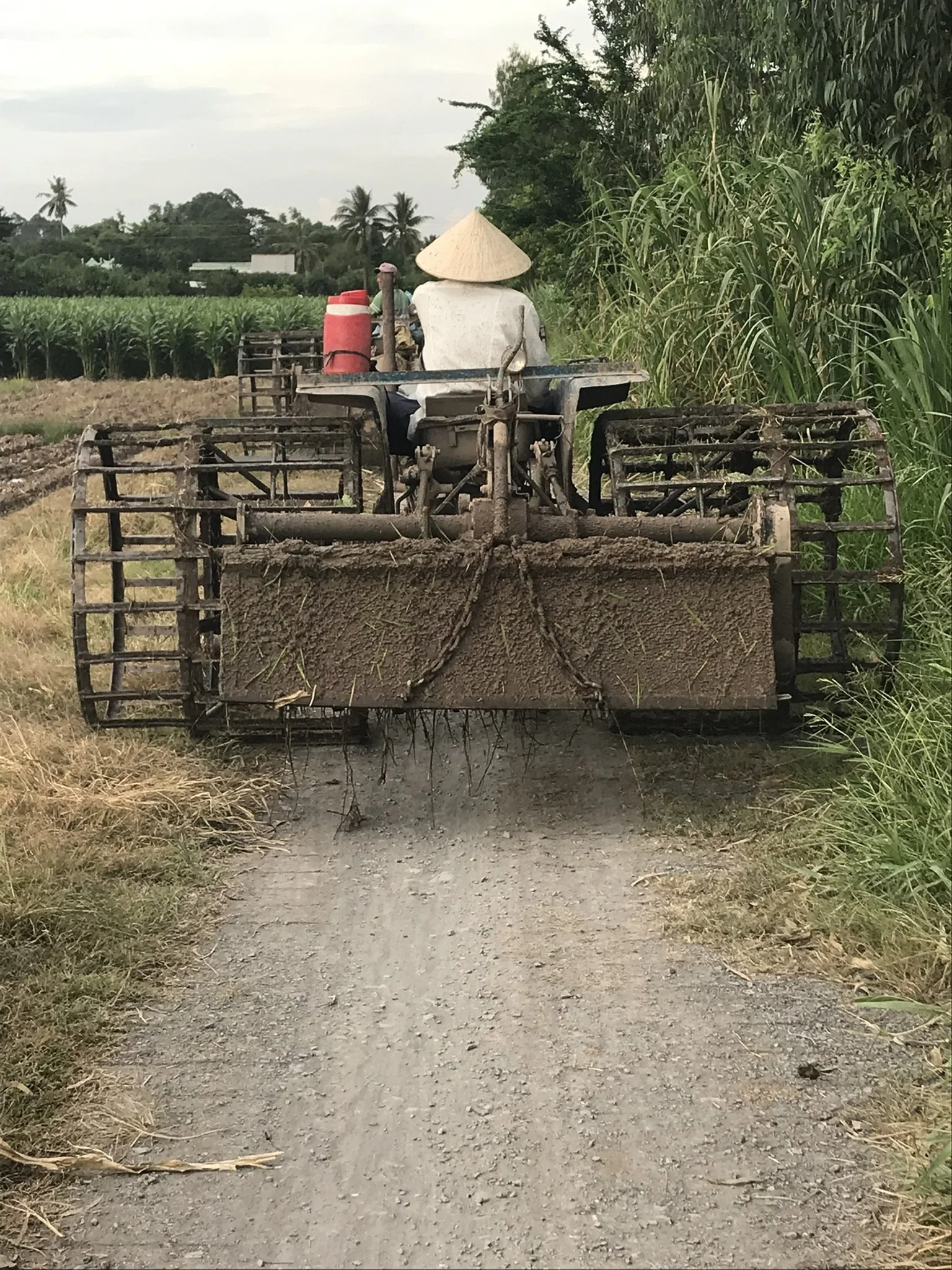
A variety of different land cover seen during the field work completed in summer of 2019.
Vietnam’s Mekong Delta produces more than half of the country’s rice, making it vital to both national food systems and global exports. While rice farming has long been central to daily life and livelihoods in the region, that balance is under growing pressure. The rapid expansion of towns and infrastructure, combined with shifting economic incentives and evolving government policies, is transforming how land is used.
Curious about what these forces could mean for the future, a team of international researchers with the NASA Land Cover Land Use Change (LCLUC) program set out to explore how agriculture in one rural province, Dong Thap, might look over the next ten years. Their findings were recently published in a book chapter, with Keelin Haynes, who was a graduate student at Miami University during the study and is now the Communications Coordinator with NASA Harvest, serving as the lead author.
Keelin’s approach blended advanced satellite analysis with extensive fieldwork on the ground. To understand how the region had changed over time, he applied advanced change detection methods to high-resolution satellite imagery from 2007 and 2017, tracking shifts in land cover across towns, fields, and waterways. But satellite data alone couldn’t tell the whole story. To uncover the human decisions driving those changes, Keelin spent a month in Dong Thap Province, traveling with a local contact, often on foot, and visiting farmers in their homes. Through dozens of personal conversations, he gathered firsthand insights into how cultural traditions, shifting markets, and local policies were shaping land use. The study brought these voices together with geospatial data to build a clearer, more realistic view of how agriculture in the province might evolve under different “what-if” scenarios. While not predictive, the model offered a structured way to explore plausible futures based on current trends and local insights.

The projections revealed consistent trends across scenarios, even amid uncertainty. In several modeled scenarios driven by stronger economic incentives, new policy shifts, or enduring cultural ties to rice, paddy area in Dong Thap was projected to decline modestly over the coming years. Depending on the pathway, more land could shift toward fruit orchards, vegetable farming, aquaculture, or urban development. Yet even with these changes, rice was expected to remain the most widespread crop, underscoring its long-standing importance to the region’s daily life and economy.
“What really stood out was how resilient rice farming is in Dong Thap,” said Keelin Haynes. “Even under strong economic and policy shifts pushing farmers toward other crops or urban uses, rice is expected to remain a centerpiece of the province’s culture and economy.”
As with any modeling effort, the scenarios are simplifications of a complex reality. Future land use will depend on unpredictable factors such as climate variability, evolving policy decisions, and shifting trade dynamics that no model can fully anticipate. Still, the approach helps illuminate the range of possible outcomes and informs smarter planning.
While grounded in Vietnam, this kind of research has broader value. When satellite data is paired with local knowledge, including conversations around the kitchen table, the result is a more complete, human-centered forecast of land-use change. That perspective is essential for local leaders, planners, and global partners working to protect food systems and support sustainable rural development.
Today, Keelin is bringing these skills and perspectives to NASA Harvest, where he helps communicate how advanced science and satellite data are supporting farmers and improving agricultural decision-making around the world.