
NASA Harvest and ESA WorldCereal Collaborate on Custom Crop Mapping System
Imagine you are working inside a ministry of agriculture and need to know how many farmers are planting drought-tolerant sorghum, a crop that matters for resilience and nutrition, but is often grouped into broad statistical categories or left out entirely. Field surveys can answer the question, but they take time and money, and results usually arrive after planting decisions have already shifted.
Satellite imagery offers another option. Images are collected continuously across the globe, yet turning this data into crop maps that are specific, defensible, and usable by statistical agencies is difficult. The challenge is converting raw time series into classifications that hold up under scrutiny.
WorldCereal: Building Custom Crop Maps
The European Space Agency’s (ESA) WorldCereal system was built with that problem in mind. It is an open source, cloud-based platform that allows users to generate customized crop maps for their own region and crop types. Users harmonize their field reference data, combine them with satellite imagery and weather time series, and train classification models tailored to local cropping calendars and conditions.
WorldCereal draws on open-source Earth observation data, including radar and optical imagery. The system prepares those data streams, extracts features, and produces maps at regional or national scale. The emphasis is practical, lowering barriers to entry while keeping methods transparent.
Building and maintaining a system like WorldCereal requires coordination across multiple institutions. ESA and NASA Harvest partner VITO are leading development of the platform. NASA Harvest researchers have contributed technical components and have participated directly in regional training. The International Maize and Wheat Improvement Center (CIMMYT) brings field data, regional networks and is the use case partner in Africa, and private-sector partners like Microsoft’s AI for Good Lab are also engaged. Converting satellite data into statistics that agencies can use depends on that kind of collaboration.
Presto: The Model Behind the Map
One of the models supporting this workflow is Presto, developed by researchers affiliated with NASA Harvest, NASA’s global agriculture and food supply consortium. Designed for satellite time series, Presto processes sequences of images over time and learns patterns in crop development across a season. It can ingest data from multiple satellite sensors, including radar systems that can see through clouds, and it requires far less computing power than many large AI models. Within WorldCereal, Presto transforms raw satellite data into structured features that improve crop classification.
Its performance still depends on the quality and distribution of reference samples, and some crops remain difficult to distinguish when seasonal patterns overlap and when sample sizes are limited.
Putting WorldCereal to Work
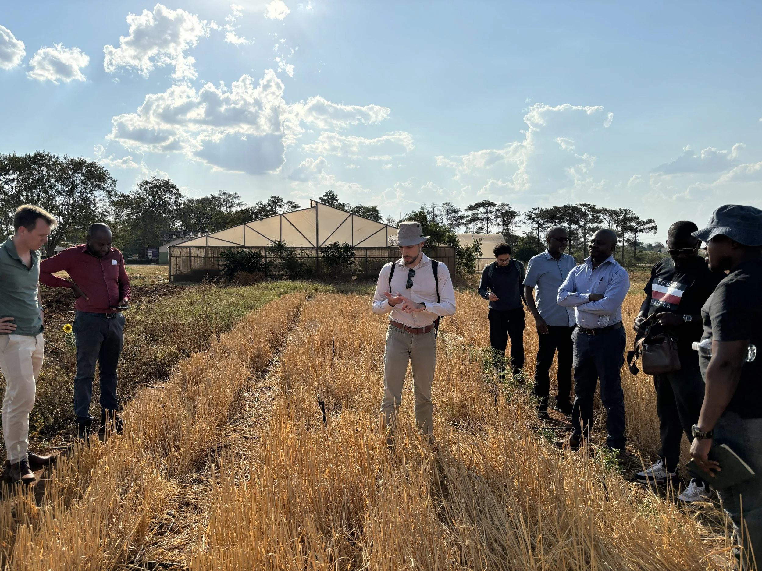
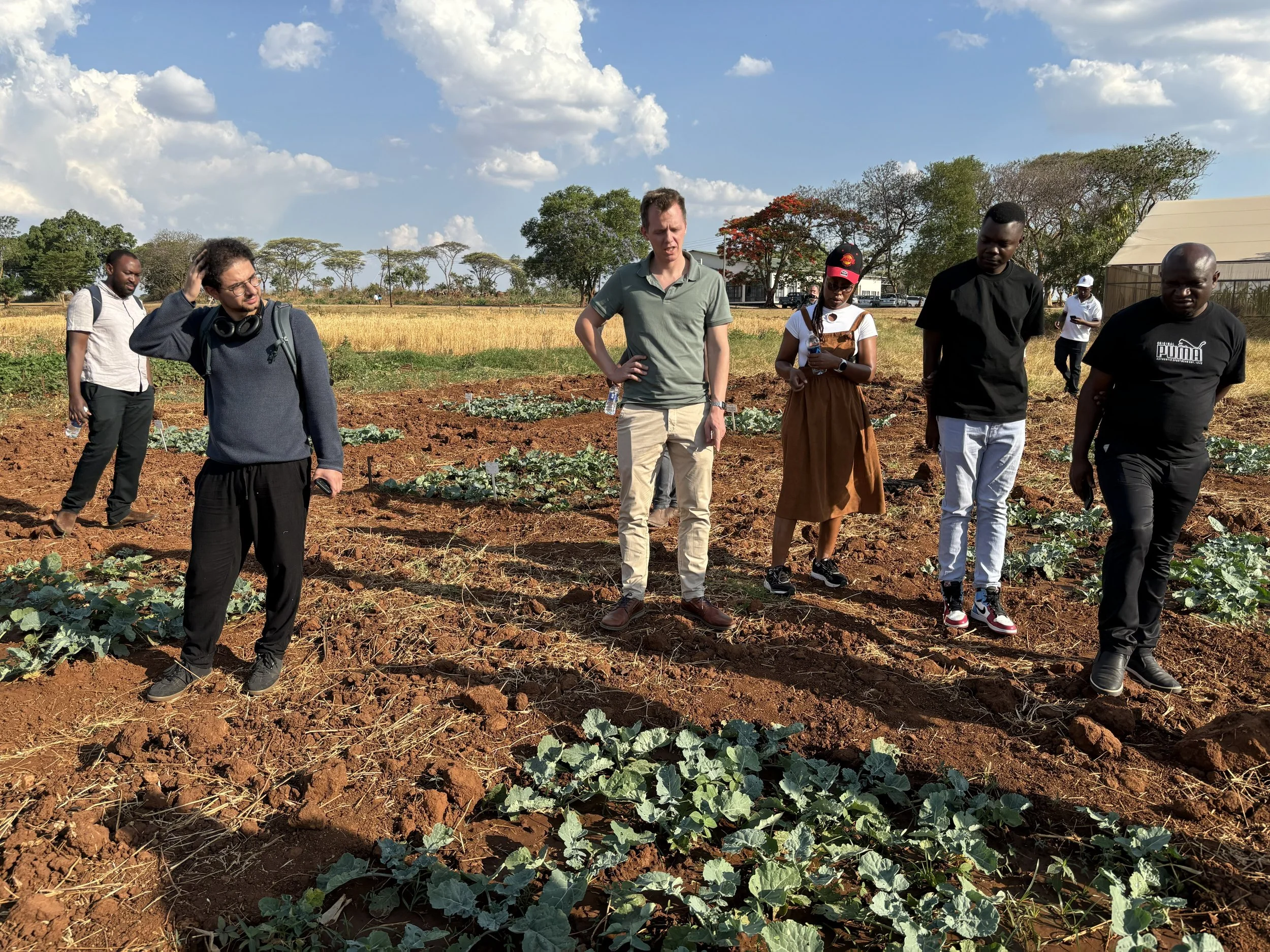
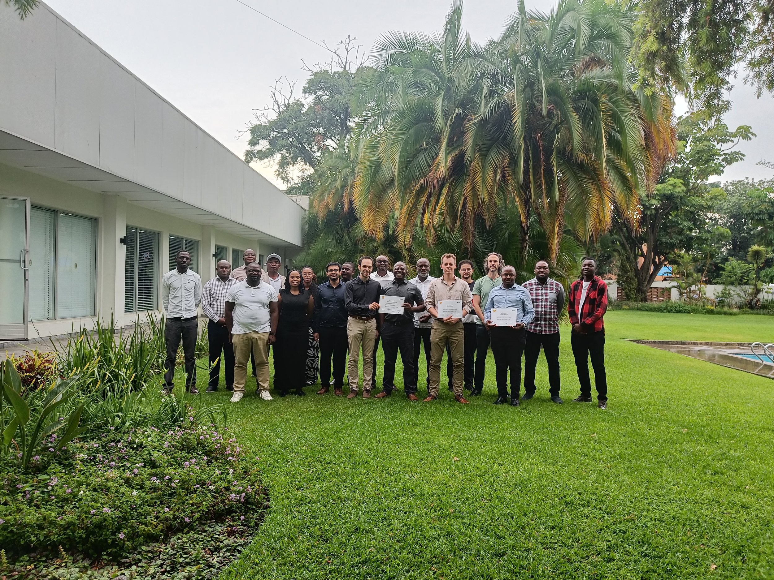
In November 2025, ESA and its partners conducted an in-person WorldCereal workshop in Zambia, hosted by CIMMYT. The training focused on real datasets rather than demonstrations. Participants worked through preparing reference data, training models, and generating maps using their own country-specific inputs.
The use case for the workshop centered on Vision for Adapted Crops and Soils (VACS), an initiative aimed at strengthening resilient agri-food systems across Africa by promoting opportunity crops that are often underrepresented in national statistics.
CIMMYT led a field campaign in April 2025 that collected 7,600 georeferenced crop samples in Zambia and 4,600 in Zimbabwe. Those samples were combined with publicly available reference data within the WorldCereal system and participants evaluated classification performance as a function of crop type and sample size.
Results varied. Some crops could be mapped reliably with available data. Others required additional samples before performance reached acceptable levels and a third group proved difficult to distinguish under current data and signal constraints. The variation in results was majorly due to mixed cropping practices and small field sizes making it extremely challenging to detect crops, even using 10m resolution satellite data. For crops that could be mapped reliably with the available data, participants generated crop maps and evaluated how classification performance changed across crop types and sample sizes.
Shabarinath Nair, a NASA Harvest researcher, involved in the development of the use case and one of the workshop’s trainers, highlighted that model performance can vary in regions with limited reference data and shifting crop calendars. Therefore, while global models work reliably in the majority of the cases, it is highly relevant to continuously add regional datasets that improve the quality of local maps. The workshop was structured to reveal those realities while participants still had control over data preparation and model training choices.
Nineteen participants attended the Zambia training. They represented agencies and institutions from Zambia, Zimbabwe, and Malawi, including national statistics offices and agricultural research institutes. Organizations such as CIMMYT and FAO were present, along with a representative from Microsoft AI for Good Lab in Kenya.
That mix of expertise is important because crop mapping depends as much on statistical standards and field knowledge as it does on algorithms.
WorldCereal brings together satellite data, locally collected reference samples, and models such as Presto within a system designed for operational use. ESA and VITO are building the platform and regional workshops are extending it into real institutional settings. NASA Harvest will continue supporting the development and uptake of WorldCereal, working with partners to ensure that agencies have both the tools and technical grounding to use it responsibly.