
New Research Reveals 40 Years of Climate Shifts in Senegal Using Satellite Technology
A new study led by Dr. Catherine Nakalembe and co-authored by scientists from NASA Harvest and partner institutions has uncovered how rainfall and temperature in Senegal have changed over the past 40 years. The study, titled "A 40-year remote sensing analysis of spatiotemporal temperature and rainfall patterns in Senegal," provides important insights into how climate is shifting across the country—and why this matters for food security and farming.


Why is this research so important? Senegal is a country where many people depend on farming to make a living and feed their families. But changing weather patterns are making it harder to grow crops. Scientists need to understand how these patterns are evolving so they can help farmers and policymakers plan for the future. In Senegal, there aren’t enough ground weather stations to collect this kind of data. So instead, the research team used satellite information and powerful tools like Google Earth Engine to fill in the gaps.
Over the 40-year period from 1981 to 2020, the researchers found that average temperatures in Senegal rose by 0.73°C and rainfall increased by 18 mm. These changes didn’t happen evenly across the country. Different regions experienced different trends, which means that solutions to these challenges will also need to be different depending on the area.
For example, wetter areas in the south like Casamance may face more flooding and erosion. In contrast, drier areas in the north will continue to struggle with drought and water shortages. The research also found that some of Senegal’s key crop-producing areas, like Eastern Senegal, are heating up quickly—posing a risk to crops like maize, millet, and peanuts.
“These findings help us see the bigger picture of how weather patterns are shifting across Senegal,” said Nakalembe et al. “By using satellite data, we can understand what’s happening across every region—even places that don’t have weather stations. This gives us the information we need to support farmers and protect food supplies.”
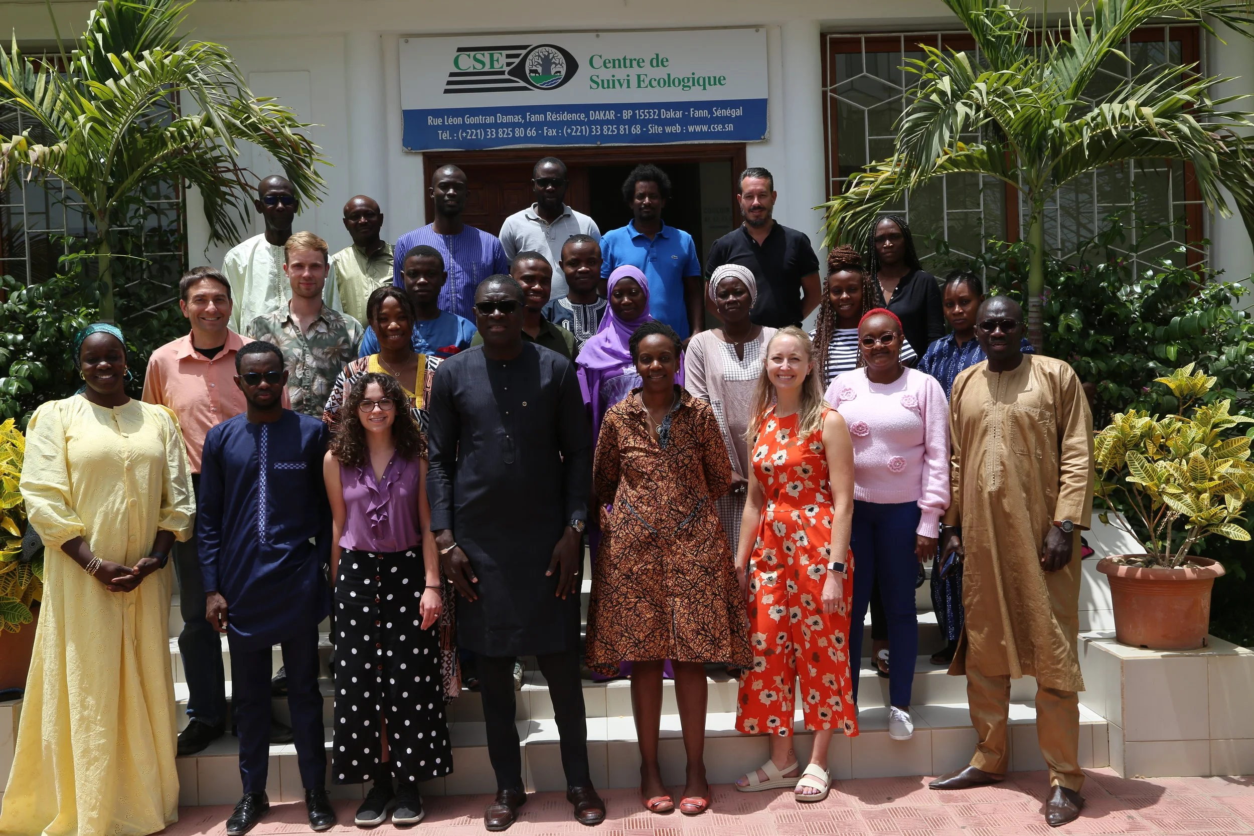
NASA Harvest has been engaged in improving agricultural monitoring in Senegal for some time. Last summer in June 2024, NASA Harvest teamed up with local agencies to host a 5 day training workshop in Dakar, Senegal for 20 technical analysts who are involved in agricultural monitoring and decision support.
The study used a combination of CHIRPS rainfall data and ERA5-Land temperature data, applying rigorous statistical tests to identify trends over time. The analysis revealed that nearly all of Senegal’s agroecological zones—areas with similar climate and soil—are warming, and many are receiving more rain. But the effects of these changes are complex. More rain isn’t always a good thing if it leads to flooding, and higher temperatures can stress plants and reduce crop yields.
This research is a powerful example of how satellite technology can support real-world decisions. It shows how NASA Harvest and its partners are using science to improve lives and help communities adapt to evolving environmental conditions.
As Senegal continues to experience these shifts, work like this will be critical. Understanding how temperature and rainfall are changing—down to the local level—gives communities the tools they need to build a stronger, more resilient future.
Read the original article here and access the Google Earth Engine Dashboard here.