United Nations’ FAO Teams Up With NASA Harvest to Simplify Field Data Collection
When drought or floods strike, every day counts. While satellite-based Earth observations are able to provide key insights into agricultural conditions, ground-based surveys remain critical to provide a full account of the situation. These surveys often have to happen quickly and with limited time and resources presenting many implementation challenges. A collaboration between the Global Information and Early Warning System for food and agriculture (GIEWS) of United Nations’ Food and Agriculture Organization (FAO) and NASA Harvest is helping to improve data collection so that governments and aid agencies can act faster with better quality information.
The Agricultural Assessment 4 Early Warning (AA4EW) survey templates and user guide were launched to help future field campaigns start sooner, work more efficiently, and produce better data. These survey templates were designed to be user-friendly and easy to customize, allowing users to select applicable items for their field campaign and to quickly deploy their surveyors. This data is intended to support operational early warning systems and provide a strong evidence base for the development of interventions by governments and humanitarian organizations.
A number of new online and open-source survey collection platforms like Kobo Toolbox, Survey123, and ODK are making cost-effective data collection easier for survey teams. The data collected can support early warning systems and data-driven response by stakeholders, particularly in resource-constrained contexts. However, a key limitation in the use of these platforms is the development of the survey forms themselves, which can be time-consuming and require technical expertise. To overcome this, the AA4EW surveys provide an easy-to-use template, enabling users to customize surveys to meet their specific contexts.
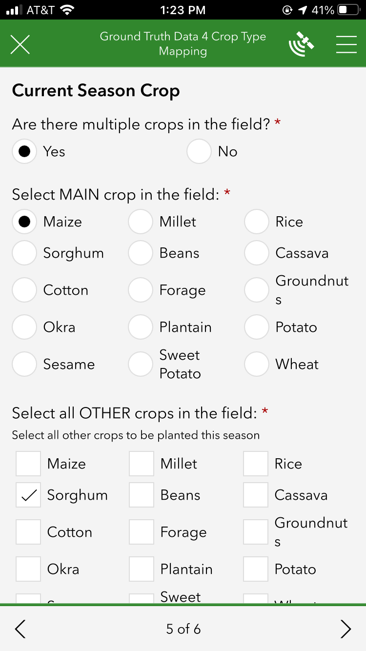
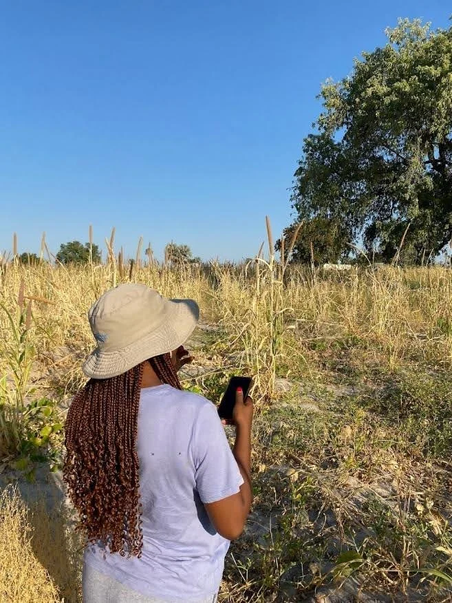
An example of data collection app previously used by an FAO team during a field campaign.
AA4EW has three core survey templates for pre-/early-season, in-season, and post-harvest data collection. Each template has modular questions on location, demographics, climate, crop type, agricultural practices, production, livestock, and food security. This breadth of questions allow users to obtain as deep of an understanding as necessary for their campaign. Finally, to help the survey designers in selecting which questions to actually include, each question is categorised as essential (necessary for compatibility and geospatial analysis), contextual (for deeper agricultural and food security insights), or supplementary (for specific applications).
While both “essential” and “supplementary” questions are recommended, “essential” questions are critical as they ensure that the survey responses can be compared to and merged with other survey data. Additionally, “essential” questions include geolocation and field boundary data, which allow the survey results to be compatible with Earth observation-based analyses.
In addition to the three core templates, a supplemental Disaster Impact Assessment was developed. This optional add-on allows for rapid post-shock impact assessments to be deployed when needed and to provide critical information to support disaster analysis related to external shocks on agricultural production and food security.
The AA4EW templates were developed using XLSForm to ensure compatibility with multiple mobile-based survey applications, including Survey123, KoboToolbox, and ODK. The questions can be used to supplement ongoing operational surveys with key agricultural information or serve as standalone agricultural assessments. The survey templates were standardized to ensure suitability across a wide range of geographies and agricultural systems, while still allowing the questions and responses to be customized to meet the assessment objectives and the local environment.
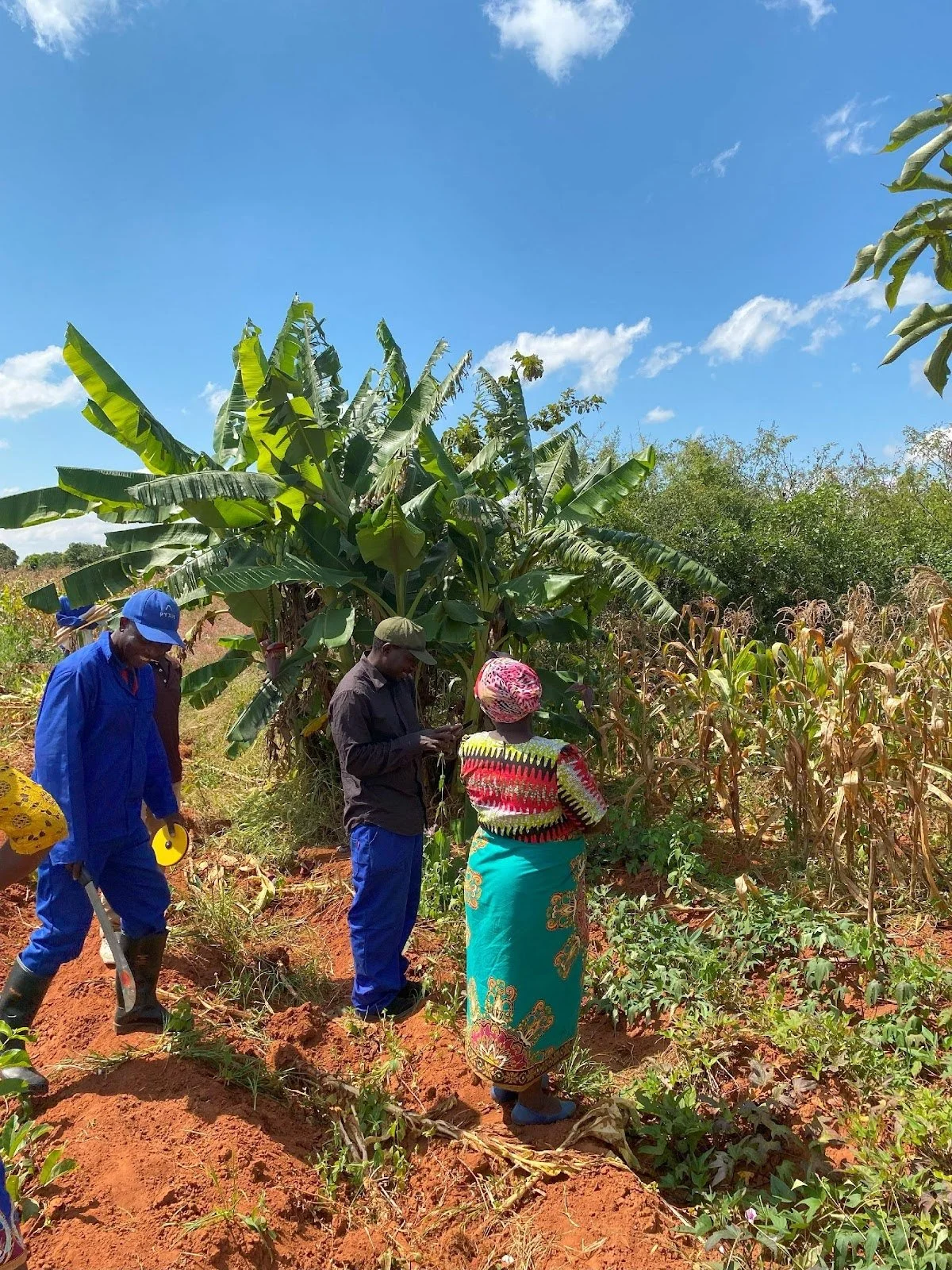
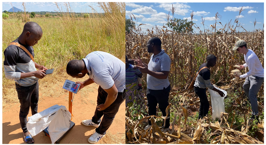
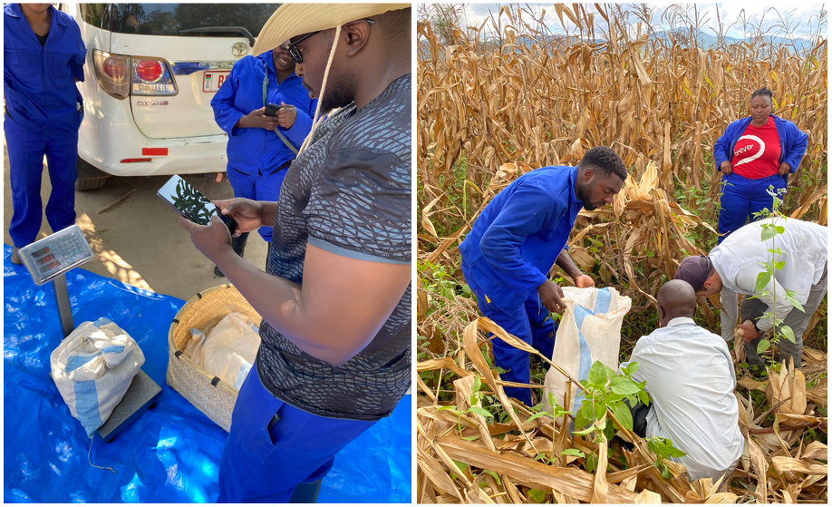
The AA4EW survey templates were developed using knowledge gained from previous field campaigns and versions of these surveys have been used successfully in Malawi and Namibia. The team behind the AA4EW survey templates has written a detailed user guide for those interested in utilizing them. You can read it in full here.